 Photo: Jessica Åkerman Lestander
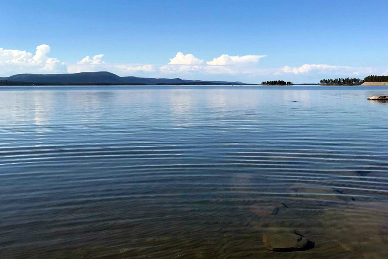
Not even Austrian Herbert Nitsch, with a world record in freediving, 214 metres, can reach the bottom of Lake Hornavan in Arjeplog. Start from Höghedet by Svartberget on the lake for a swim you can feel. But not in the sense of feeling the bottom. There are 221 metres between surface and bottom in Sweden’s deepest lake, so the feeling you get swimming around here is slightly vertiginous.
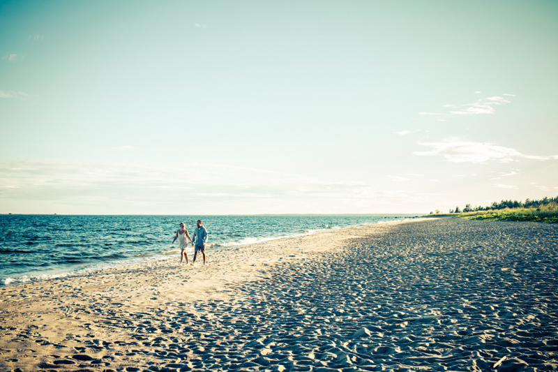 Photo: Andy Anderson
The island Stenskär outside Piteå is part of the nature reserve Bondöfjärden, a Natura 2000 area. The reserve is 55 square kilometres, but only two of them are above the surface. On those two, you’ll find a lagoon-like natural harbour, ancient labyrinths and one of the nicest beaches in the Bothnian Bay archipelago. If you go for a swim here, you’re actually swimming at the farthest end of the inland ice that once stretched all the way from the mountains.
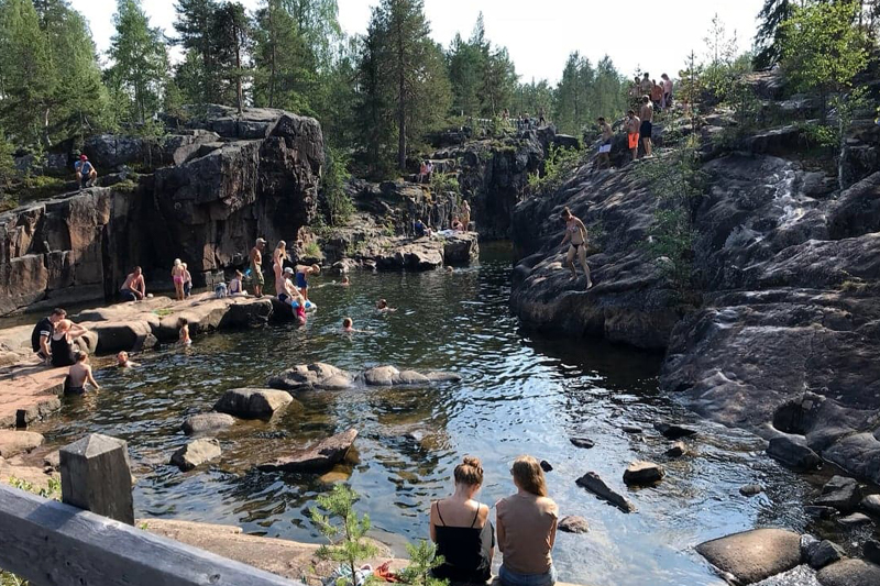 Photo: Sandra Granström
The largest unregulated rapids in Sweden: Storforsen outside Älvsbyn. We’re not recommending you go for a swim in the free-flowing rapids. Still, next to them, in the part that was rendered more or less dry when it was cleared for log-driving, commonly known as ’the Dead Fall’, there are a number of spectacular pools and canyons that turn this area into a perfect, natural waterpark. The cliffs around Storforsen also lend themselves to sunbathing, and the area is adapted to persons with reduced mobility and well-equipped with lots of picnic areas. There’s a hotel nearby if you feel like staying the night and have another swim in the morning.
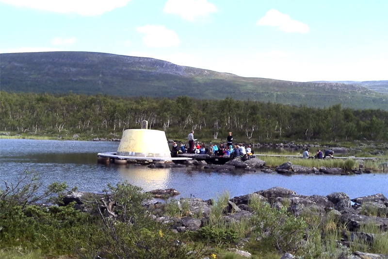 Photo: Ivar Palo
In 1926 a cement block was erected ten metres out in lake Koltajaure. In Swedish it’s known as Treriksröset, the Norwegians call it Treriksrøyset and in Finland, it’s called Kolmen valtakunnan pyykki. The Sámi, the indigenous people who live in the cross-border area known as Sápmi, call it Golmma riikka uurna. Jump into the water in Finland and swim through Sweden and Norway, and then back to Finland. Or the other way around. It’s not every day you go for a swim in three countries.
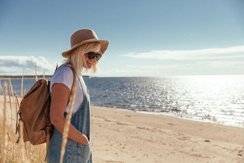 Photo: Lucas Nilsson
The island of Haparanda Sandskär could be described as Swedish Lapland’s own Maspalomas – but without parasols and umbrella drinks. The island is part of the Haparanda archipelago and a paradise for anyone who likes sand between their toes. Several kilometres of sandy beach is found on the 600-hectare island. And it is rarely overcrowded.
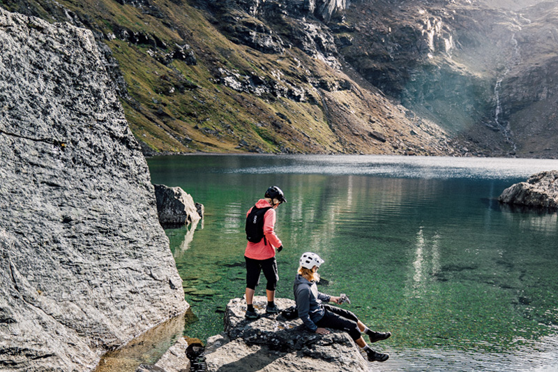 Photo: Emrik Jansson
Poor Trollsjön – if it had been a little bit deeper than its 36 metres, the measured visibility would probably have been more than 36 metres too because the water is so clear. If you go for a swim here it’s a good thing that you’ve first had to walk along at a brisk pace from Låktatjåkko Mountain station, uphills through beautiful Kärkevagge – the water is meltwater from surrounding glaciers and not very warm. In Sámi the name of the lake is Rissájávri, which translates to something like ‘the lake that gleams like fire’.
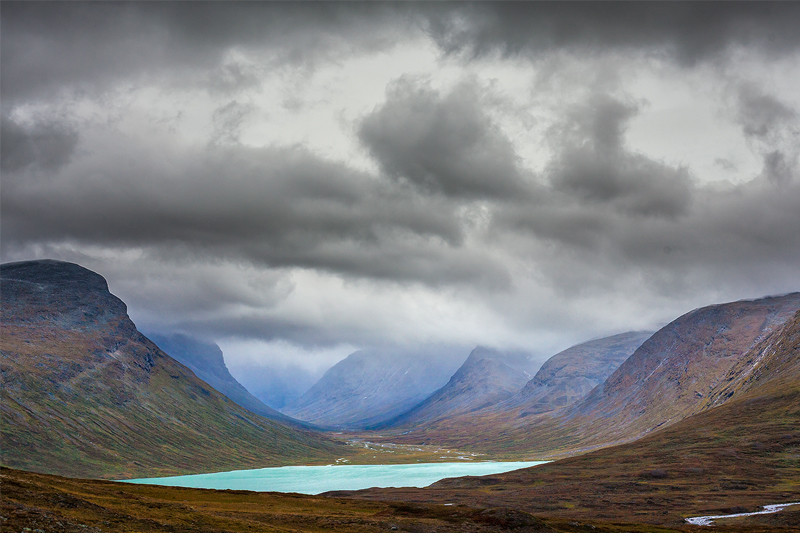 Photo: David Björkén
Álggajávrre, 756 metres above sea level in Sarek national park, is just north of Sweden’s most inaccessible point,
N67 23.199, E17 05.989 (SWEREF 99). Another alternative could be N67 19.118 E17 09.919 (RT 90), and then the most inaccessible point would be the north-eastern shore of Lulep Rissájávree around 900 metres above sea level. The most inaccessible point means the location furthest from a road. Both these spots are around 50 kilometres from the nearest road. Lulep Rissájávrre is located in Padjelanta national park.